
Climate Outlook Predicts an Anomalous Winter
The presence of a very strong El Niño/Southern Oscillation (ENSO) event in the equatorial Pacific Ocean and the weakening of the Arctic Polar Vortex (APV) will favor the occurrence of anomalous and unstable weather conditions in our country during the November 2026–April 2027 period.
This is shown by the forecast projections for total precipitation and average temperatures prepared for that stage of the calendar by specialists from the Climate Center of the Institute of Meteorology, the Provincial Meteorological Centers, and the Forecasting Center.
As reported during the XVI National Climate Outlook Forum held this Monday at the headquarters of the National General Staff of Civil Defense, an increased number of cold fronts is expected, accompanied by significant rainfall and followed by the influence of migratory continental anticyclones.
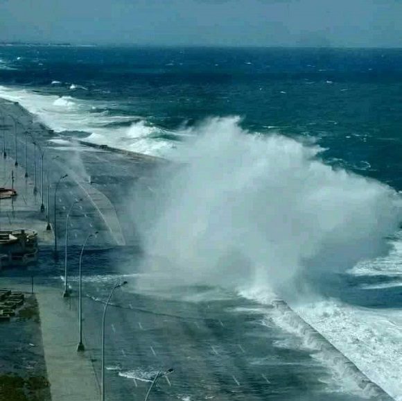
Likewise, invasions of cold air masses with notably cold minimum temperatures could be recorded over Cuba starting in December. Meanwhile, during February and March, the frequent formation of extratropical lows in the Gulf of Mexico is possible, carrying a higher probability of severe weather conditions and extreme events such as heavy rains and strong winds, in addition to potential coastal flooding in low-lying areas along both coasts.
Idalmis González, Master of Science and head of the Climate Center, reported that ENSO is expected to reach its maximum intensity between November and January, a condition that will displace the Subtropical Jet Stream further to the south and east. This will drive the development of bad weather conditions in the southern United States, the Gulf of Mexico, and the Caribbean, including Cuba, primarily in the western region.
Similarly, the elongation of the APV over North America—meaning that the polar vortex stretches and deforms, allowing frigid air to descend southward—will have direct implications for the behavior of the upcoming winter in our country.
Based on the output of the consulted models and expert criteria, precipitation above the historical average is expected in the west during the November–January period, near-average in the central region, and below-average in the eastern region. In the February–April quarter, total accumulated rainfall is expected to exceed usual levels across all three regions of the Cuban archipelago.
Regarding temperature patterns, the potential recording of maximum and minimum values below historical averages during the February–March period across the western, central, and eastern regions is particularly noteworthy.
Add new comment